Warning: this is an old update that has been archived. This update is not current.
October spills into November
School Forecast
through Friday November 15th
Last updated: 12:00PM Thursday November 7, 2024
| 0% (Nope) |
|---|
| 0% (Nope) |
|---|
| 0% (Nope) |
|---|

___________________
12:00PM Thursday:
October's warm dry weather has spilled over into November. October was very dry here in the Mid-Hudson Valley with less than 25% of the amount of rainfall that we normally see during the month. October was also warm here in the Valley. Multiple warm temperature hecords were broken and the month as a whole was about 2°F warmer than normal. So far during this first week of November no rain has fallen. Novemberhas also been warmer than normal - in fact, yesterday Poughkeepsie reached a record 81°F. No other year on record has reached 80+ degrees this late in the season.

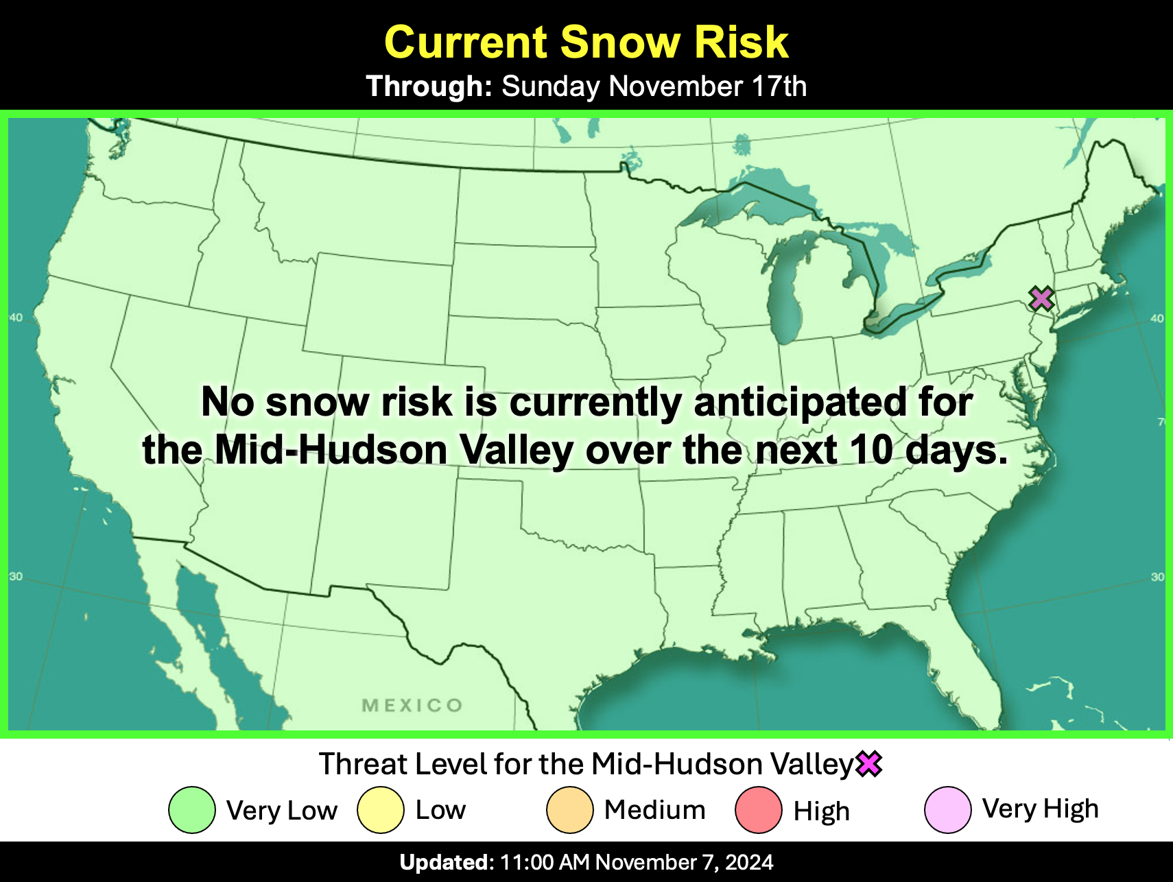
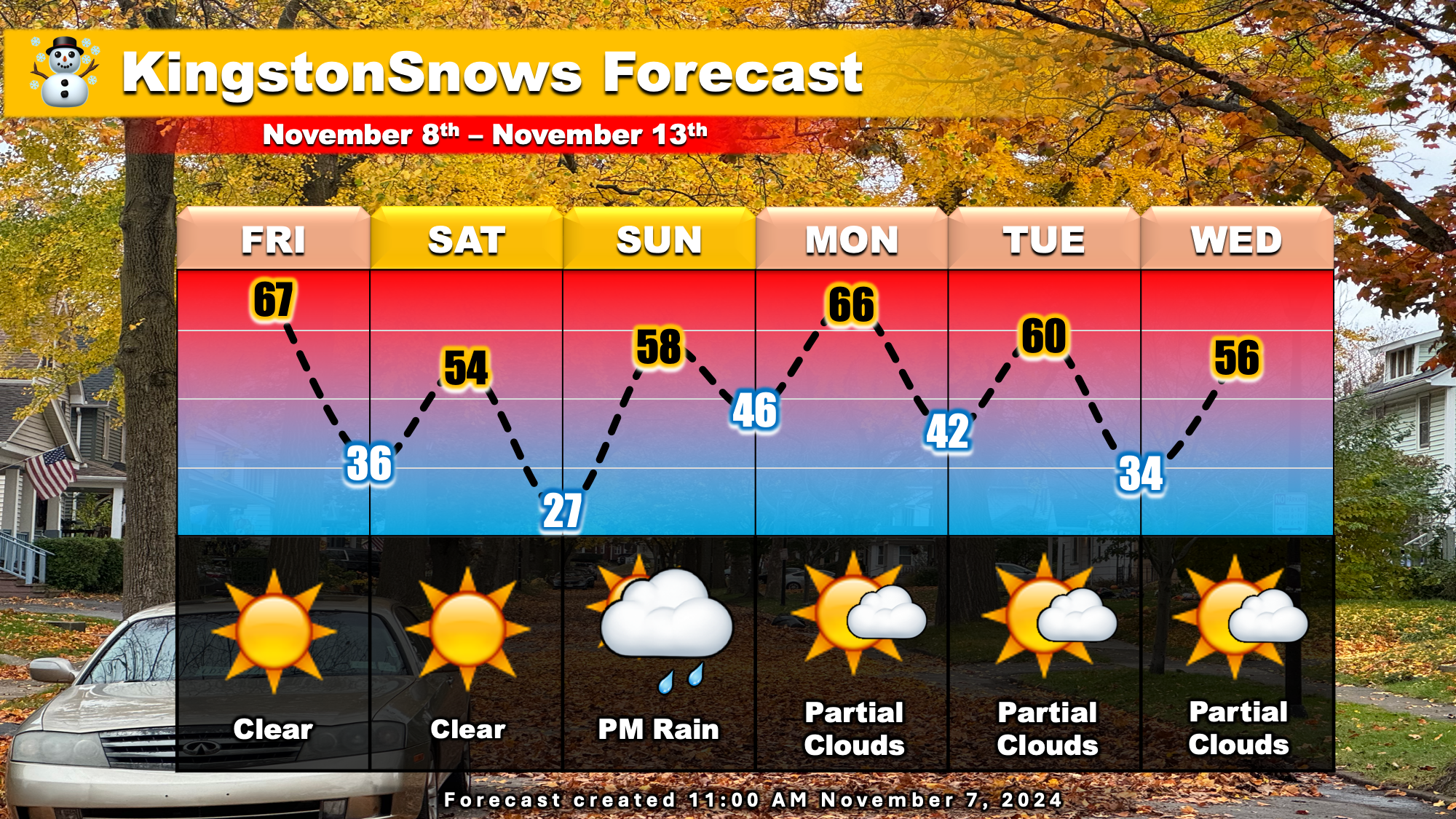
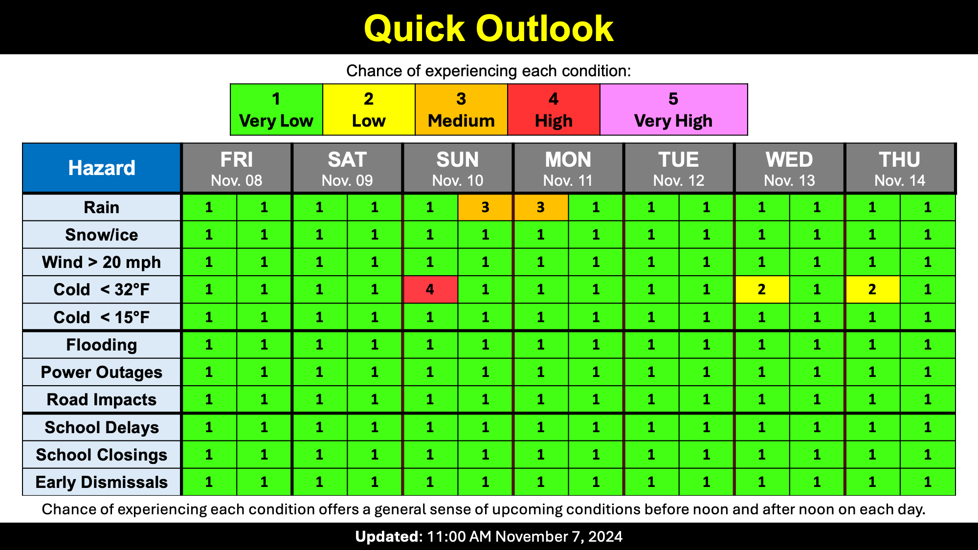
With all that said, rain and cooler temperatures are likely in the next week. Afternoon temperatures this week will range from the mid-50s to the mid-60s. Traditionally, our afternoon temperatures reach the upper-50s this time of year, so while closer to normal, they will still be a bit warm. Sunday will be the chilliest morning of the week with some frost possible. There is one chance for rain this week. A quick moving storm will approach from the west on Sunday and likely bring us rain Sunday night. The rain looks to be non-impactful with less than half and inch expected. There is no risk of snow on the horizon.
Have a great weekend!
-Ethan
